
RUN VISUALIZER
Visualize Your Runs by Placing Them in the Run Map
What is Run Visualizer?
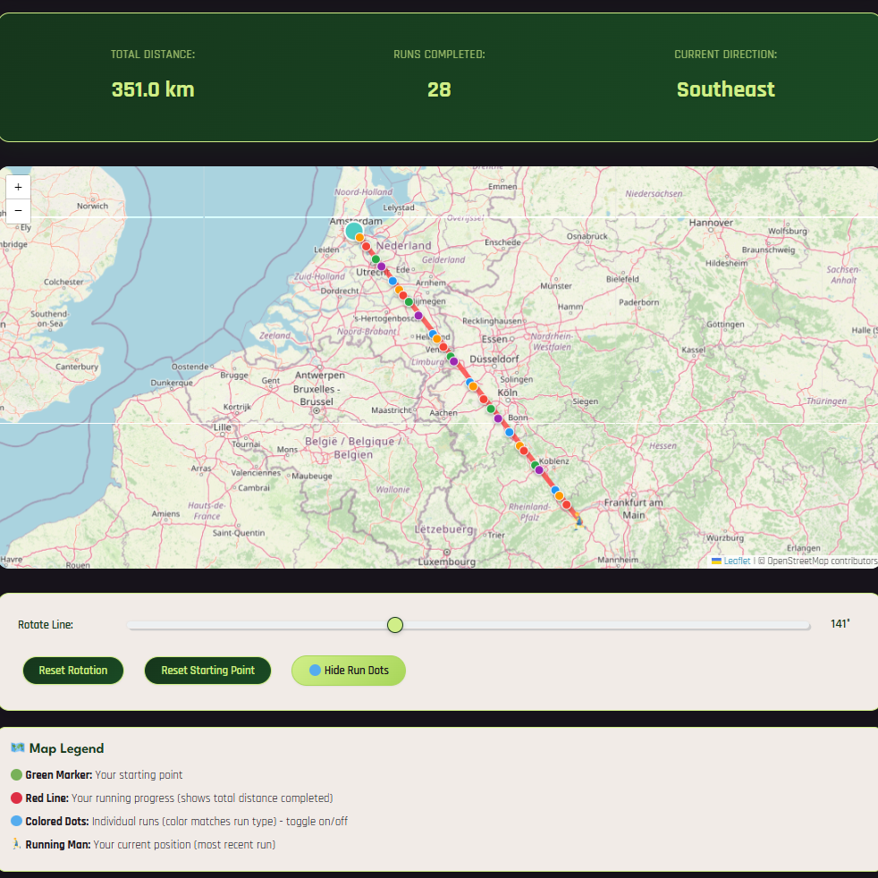
Run Visualizer is a new way to visualize your running progress! Instead of seeing your workouts as disconnected activities, you'll watch your running journey unfold as a straight line across the interactive run map, growing with each completed run.
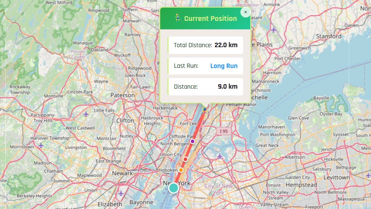
The Solution: Run Visualizer converts all your running distance into a single, straight line from your chosen starting point. You can even point the line in any direction using the direction slider! Suddenly, that 200 kilometers becomes a clear, visual journey that you can see growing with every workout!
It works togheter with any plan generated on YearRoundRunning, and you can try it out for free!
Why It's So Cool
Visual Distance
See your total distance as a straight line instead of confusing loops and turns
Clear Progress
Watch your running line grow with each completed workout
Real Geography
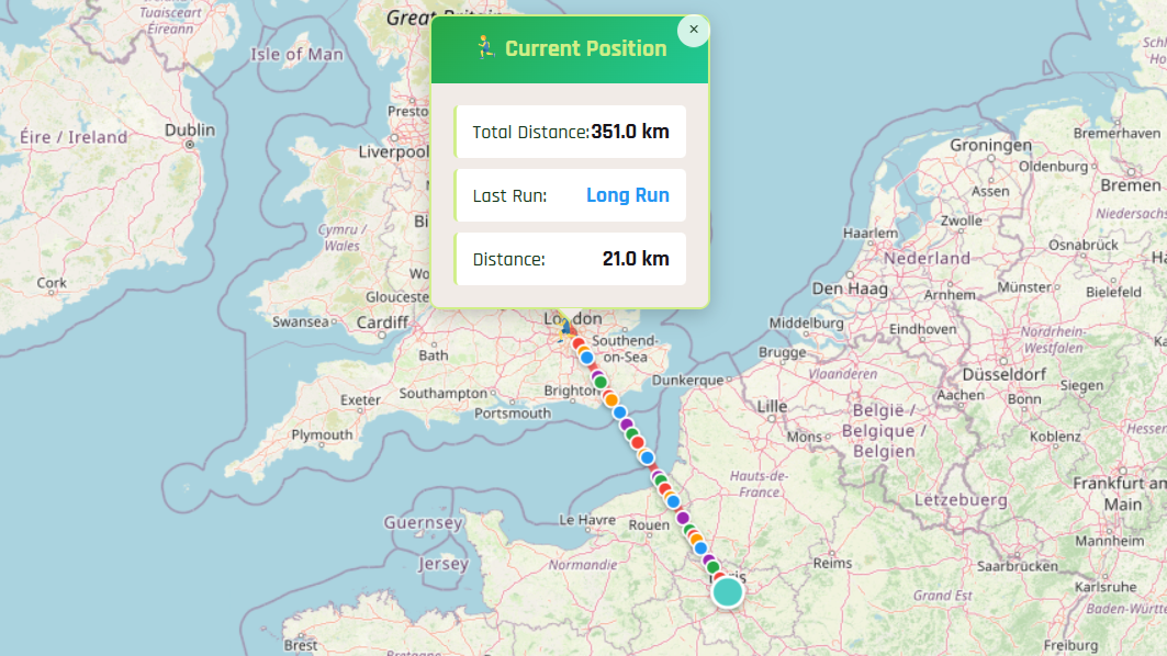
See how far you would have traveled in the real world
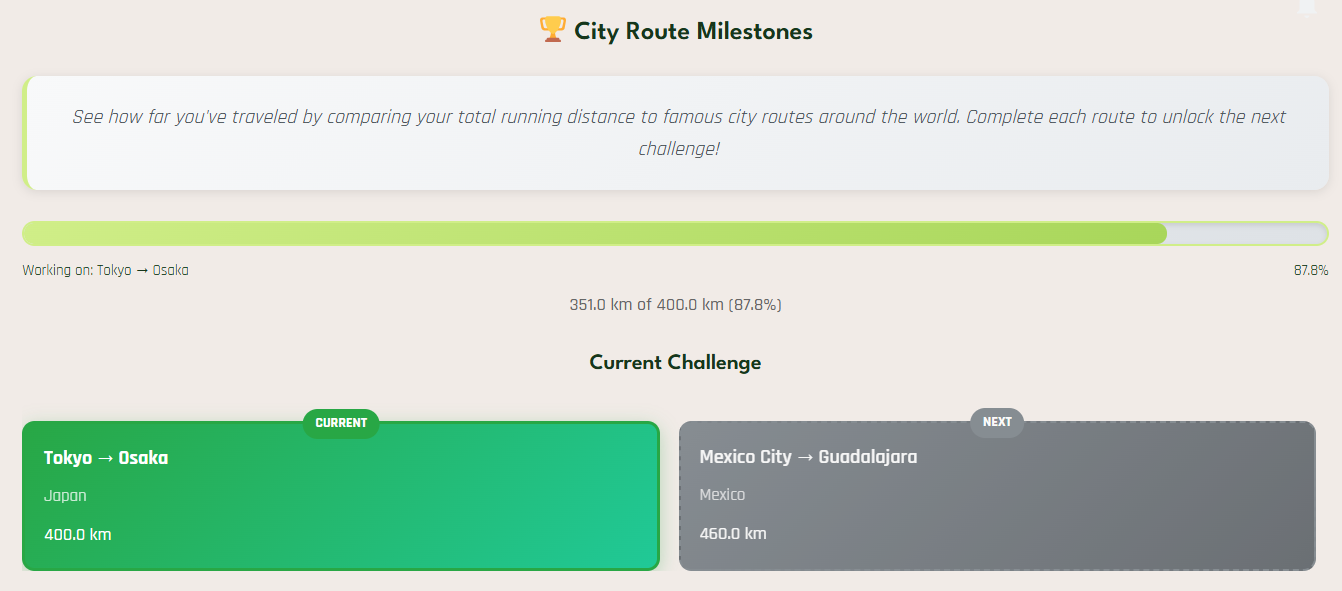
City Challenges
Complete famous city-to-city routes as running challenges
Distance Examples
Did you know these famous routes are actually achievable through running? Here are some examples:
Manhattan Length
Paris to London
Fun City Route Challenges
Run Visualizer includes city-to-city challenges that make your training feel like a real adventure:
How to Get Started
Getting started with Run Visualizer is simple and straightforward:
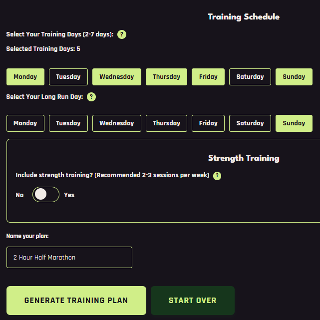
1. Generate a Plan
Create your personalized running plan with the Running Plan Generator
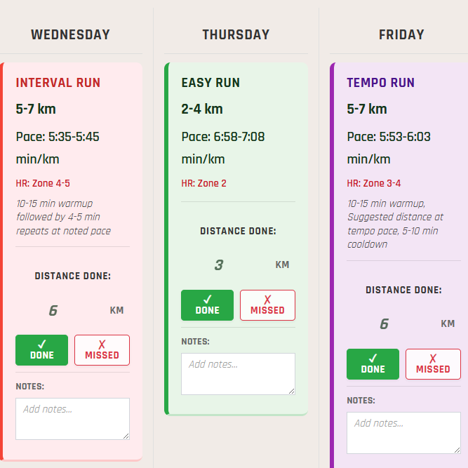
4. Mark Runs as Done
Check off completed workouts in your plan on the active plan page
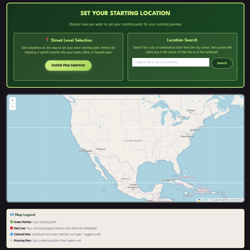
5. Go to Run Map
Visit the run map page and select your starting point
6. Watch Your Progress
See your running line grow with each completed workout!
Get Access to Run Visualizer
Run Visualizer is included with any premium training plan purchase. Here's how to get started:
Pricing Information:
• One-time purchase - No recurring fees or subscriptions
• Free trial - Get the first week of any plan for free
• Full access - Includes Run Visualizer and all premium features
Want to learn more about all the premium features included with your plan? Check out our premium features page
Ready to Start Your Visual Running Journey?
Transform your training from confusing loops into a clear, motivating adventure across the interactive run map!
Start Your Run Visualizer Journey By Creating a Peronalized Plan